Pine Hill Trail – Tuesday Tour Guide
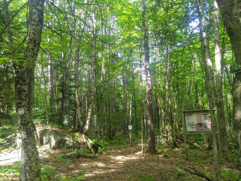
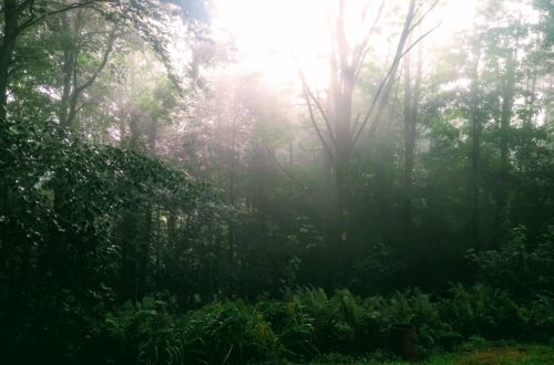
The Pine Hill Trail is one of my favorite places in Littleton. Located only a few blocks above Main Street, the trail allows residents (and visitors) to have the best of both worlds. Here it is possible to live in the heart of a walkable and vibrant town, but also walk down the street and spend the day hiking and exploring the woods. Pine Hill Trail is not the most impressive trail in the area. We are after all, in the White Mountains with hundreds if not thousands of amazing trails right at our doorstep. Yet, it is still a really great trail, and it is so nice to not have to get in a car to go for a hike or explore the woods.
This is the official map of the Pine Hill Trail:
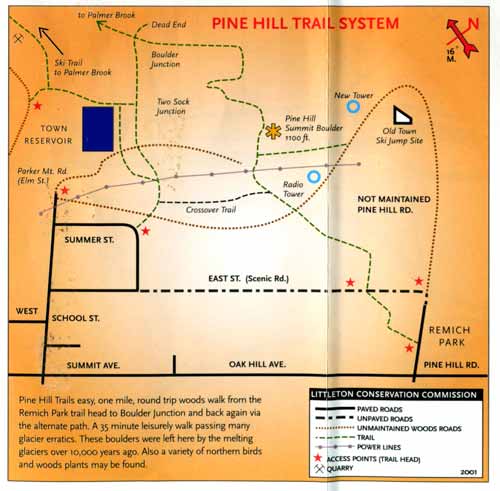
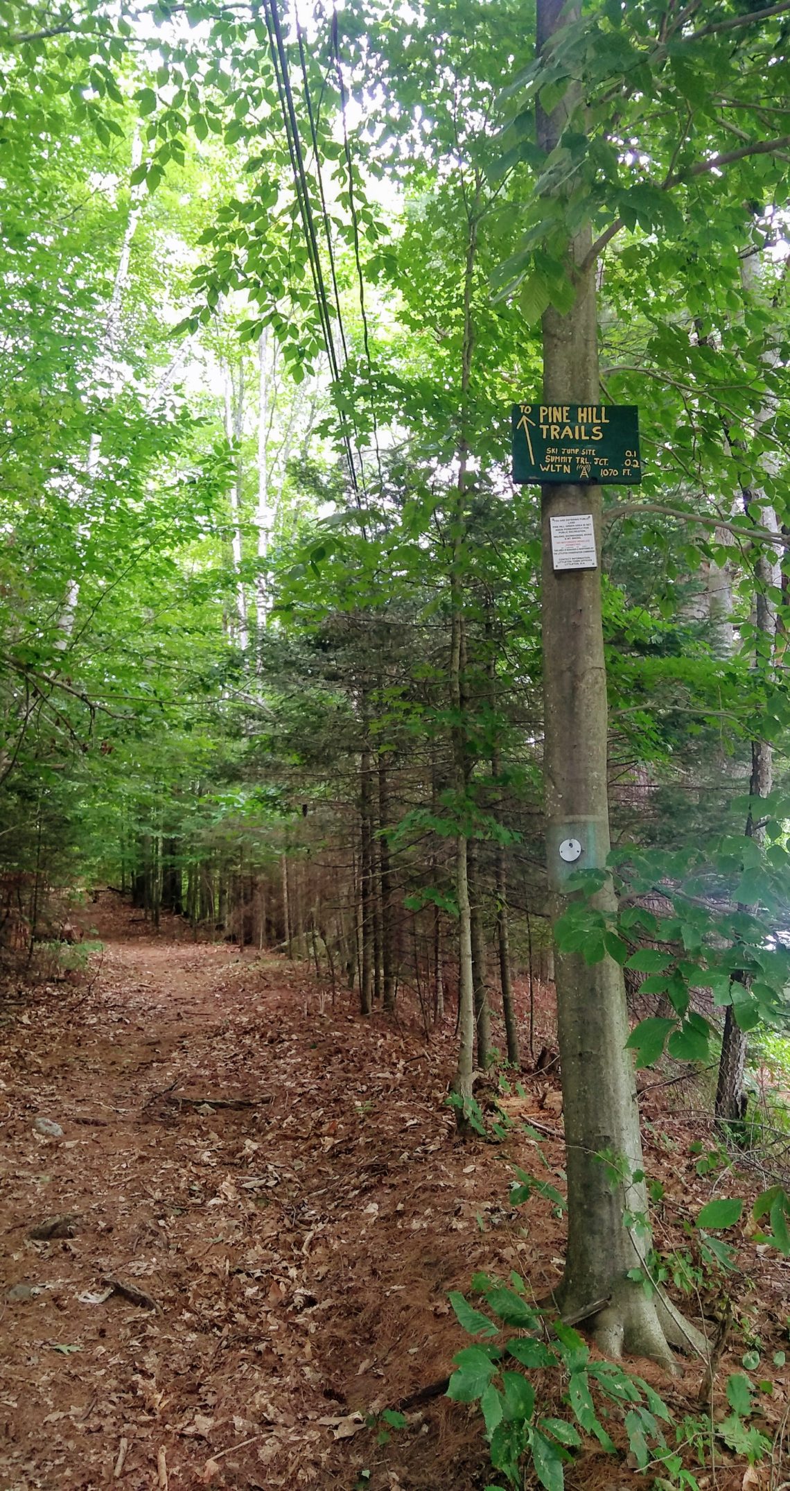
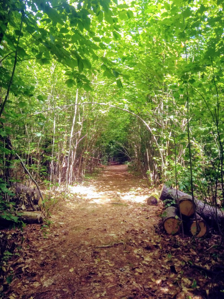
The first stretch of the trail was originally a portion of Pine Hill Road, the street running from Remich Park, up Pine Hill. This road was originally supposed to loop around to connect to the end of School Street. However, now that most of the land on the road is park land, the road now dead ends at the last house on the street, and where the road would normally continue, the trail begins. There are trail heads both at the end of School Street and at the (now) end of Pine Hill Road.
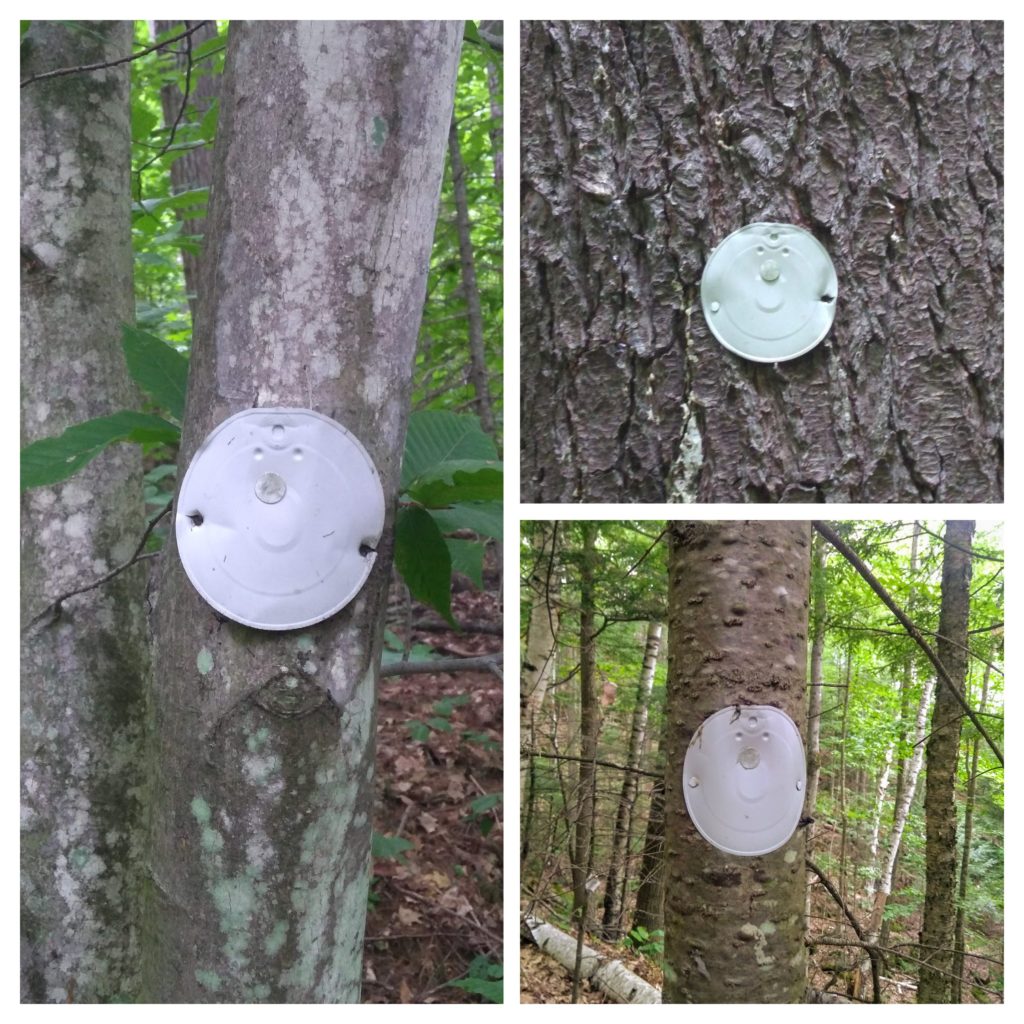
In keeping with the spirit of the town, the trail markers are can lids that have been nailed in the trees in a way that makes them appear to be smiley faces. A solution that is both affordable and cheerful.
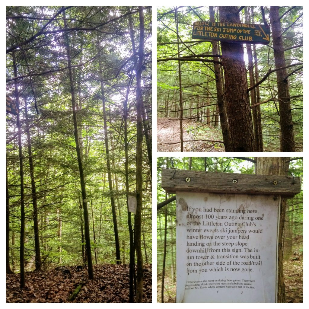
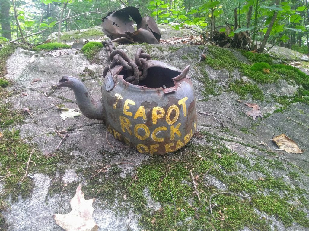
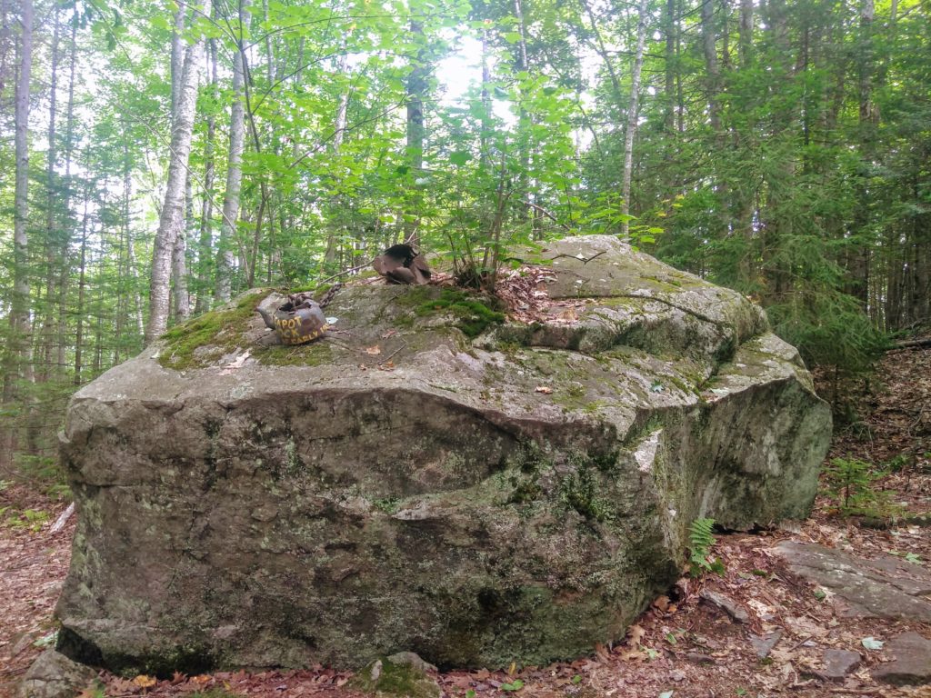
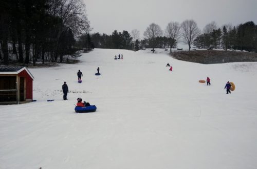
On the former road portion of the trail, you quickly come to the site of the former Littleton Ski Jump. The Ski Jump was built by the Littleton Outing Club in the 1920’s (as well as a toboggan chute at Remich Park) with the goal of “making friends with Winter”. It was used during the annual Winter Carnival. Further up the trail, another local history site is Teapot Rock, the site of an early 1900s logging camp. These trails have been a staple for us over the summer, not only do they guarantee exercise and learning about science, but we also talk a lot about both local and natural history.
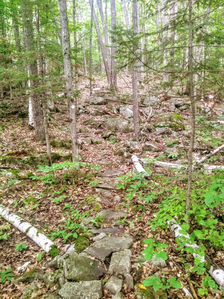
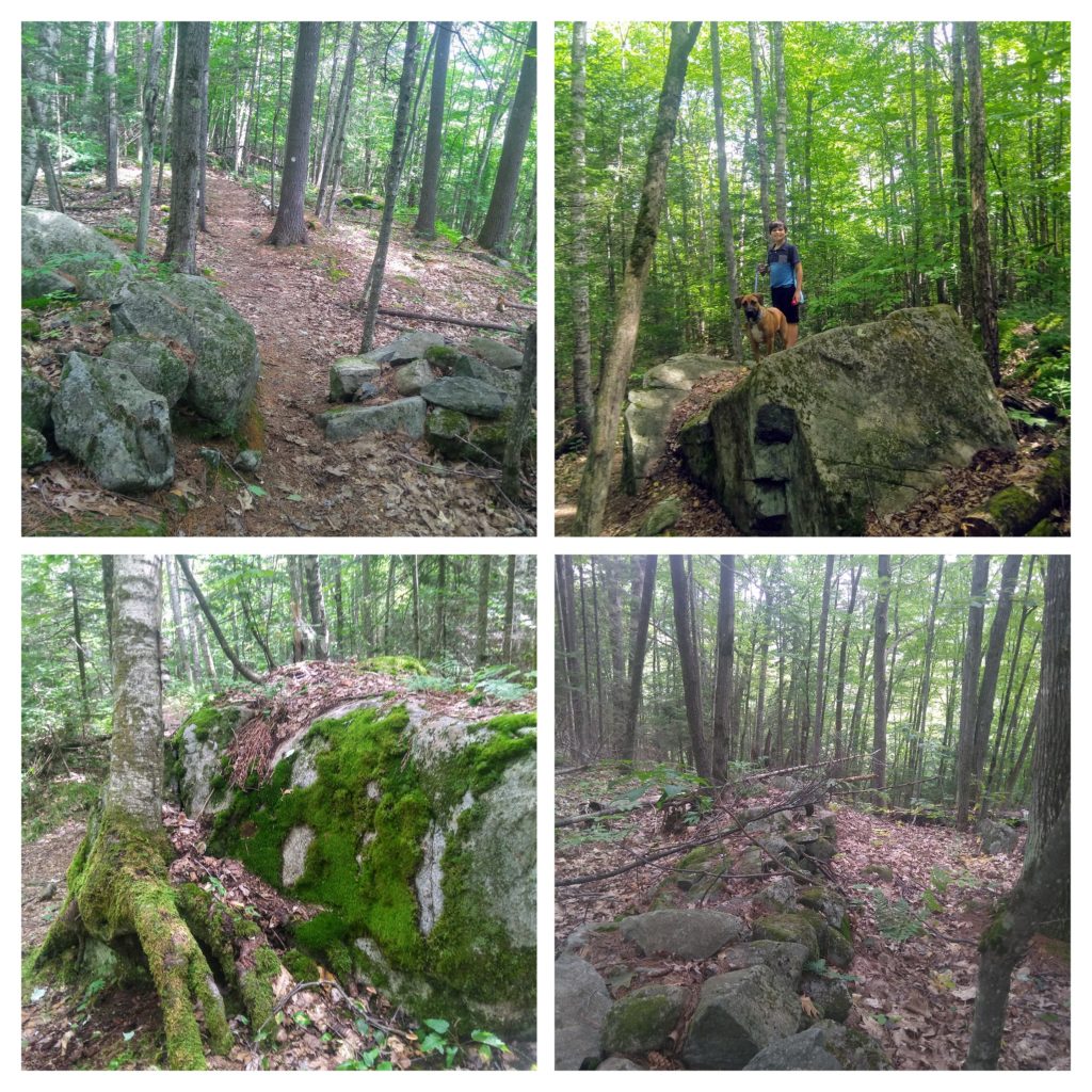
The former road portion of the trail is fairly wide, and there are narrower paths leading off of it to continue the main loop of the Pine Hill trail. The trail leading up toward the Summit Boulder is rather rocky, and that is where Ryan learned the importance of going slowly over wet, moss-covered rocks.
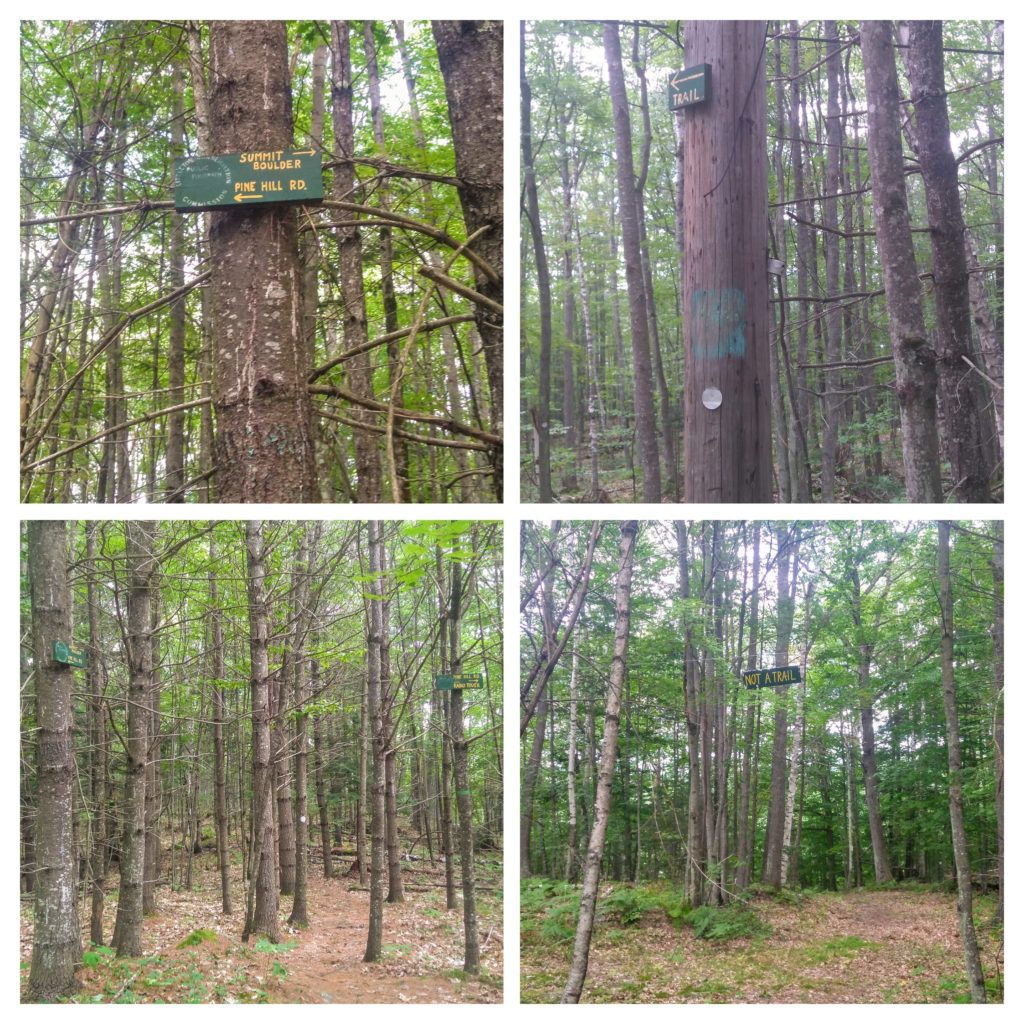
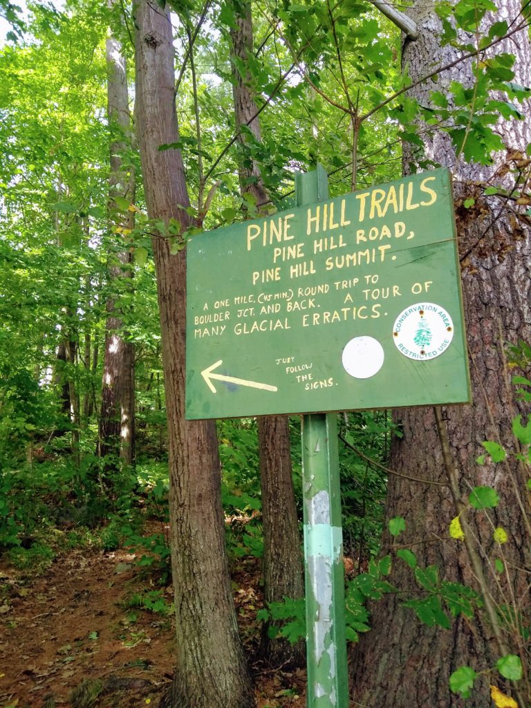
The trail is well marked, both by the can lid markers shown above and plenty of clear signage. I was confused the first time I looked at the official map, because it seemed like there were a lot of different ways you can go on the trail. However, as long as you read the signs as you walk by, you will get to whatever parts of the trail you want to be on. There is one clearing along the trail that looks like a trail, but it is not, so there is even clear signage saying “Not a Trail” to keep anyone from wandering off trail.
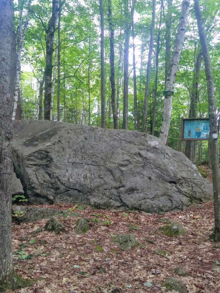
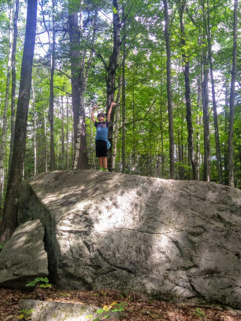
Following the trail, we come across the Summit Boulder, then head down toward Teapot Rock. The Summit Boulder is just one of many boulders on the trail, but it does seem to be the biggest. Ryan and Rusty tried to get to the top of the boulder every time we walked by it, and both just made it to the top on our most recent hike.
The trail passes by many boulders, and natural rock formations, as well as stone walls that would have once marked fields or property lines.
After Teapot Rock, the trail winds down to a three-way fork. Going left continues along the Pine Hill trail, going straight ahead takes you into the PRKR MTN trail system, and going right takes you on a slightly less clear trail that will bring you to Pleasant Street and the Town Pool in town. Usually when I am hiking with the kids, assuming we have plenty of time, I go straight onto the PRKR MTN trail. That trail system offers over 23 miles of different trails for mountain biking, hiking, snowshoeing, etc. Over the summer, Ryan loved poring over the trail maps to pick a route to follow. We typically do a loop on some of the PRKR MTN trails and then come back to the original fork and continue on the Pine Hill Trail. This route makes the Pine Hill trail system a bit more challenging, and keeps our hikes interesting because we can take a different route each time if we choose.
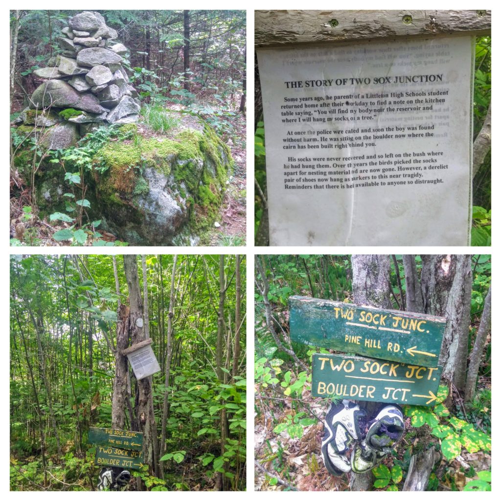
As the Pine Hill trail continues, you come to Two Sock Junction, where a pair of shoes are mounted and there is a note about a near-tragic story.
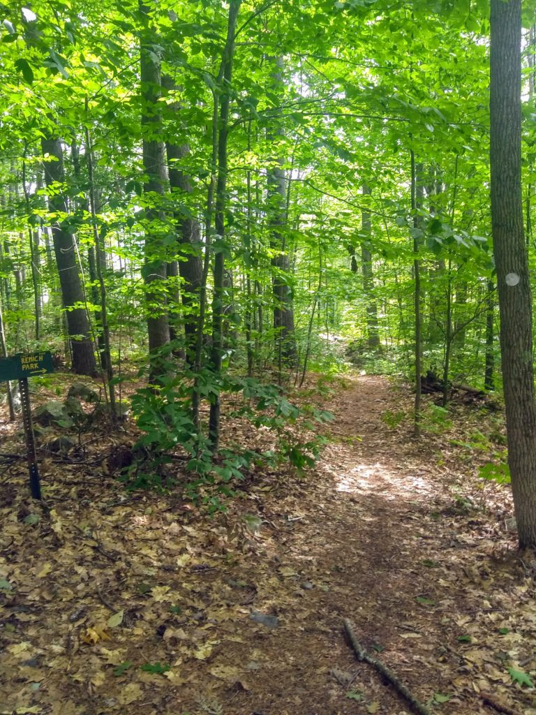
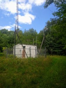
The trail continues winding, and ultimately comes to the other trailhead at the end of School Street, and loops back onto the former Pine Hill Road. Walking the rest of Pine Hill Road, brings you past another trail that can lead you to Remich Park, as well as the WLTN Radio Tower.
I love this trail because it is only blocks away from downtown, allowing anyone in Littleton to easily access nature while still having the convenience of a vibrant, walkable downtown. With different routes and connections to other trail systems, like the PRKR MTN trail, you could take a quick half hour walk or spend all day exploring the woods from here. The tidbits of local history were also a great way to get my kids thinking about what it would have been like in these woods decades, centuries, and even millenia ago.
Note: I shared this post to a blog link-up called Our World Tuesday. If you want to see posts from other bloggers about their areas, go check it out here!


4 Comments
Su-sieee! Mac
Your photos and story show the trail as a very inviting one to walk. I love how they used can lids as trail markers.
Lady Fi
A lovely walk!
Peter B.
Looks like an awesome hike in a beautiful area. So different from my neck of the woods. I like Teapot Rock!
Pingback: